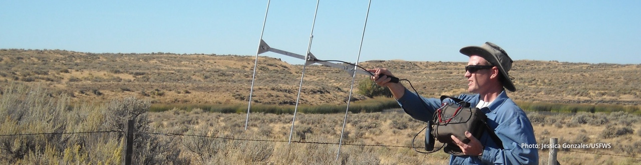
The Science
With the help of many experts and stakeholders, the Arid Lands Initiative partners contributed to key science products that assessed the health of the systems and species the ALI is focused on, and identified priority areas for their conservation. Though the initial focus of the Arid Lands Initiative is within eastern Washington, these science products extend beyond Washington State boundaries, following the natural extension of the Columbia Plateau Ecoregion.
![]()
Assessing Ecosystem Viability
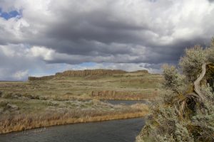
© Gordon L. Warrick/USFWS
We assessed the health of the ecosystems and species that characterize eastern Washington’s arid lands, with the help of experts and stakeholders living and working in the region. This assessment produced a clear picture that encourages conservation action across this landscape. Although these systems and species have undergone varying degrees of degradation that compromises their ability to provide wildlife habitat and economic goods and services, their recovery and restoration is still achievable.
Download the Viability Assessment
![]()
Landscape Scale Science – Terrestrial Priority Areas
A key emphasis of the science supporting the Arid Lands Initiative’s strategy was to identify priority areas to conserve, where we agreed action needs to happen first. We identified shared priority areas based on two analyses developed specifically for the Columbia Plateau ecoregion, with the input and interpretation from the ALI partners:
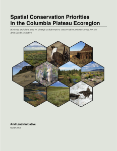 The Spatial Conservation Priorities in the Columbia Plateau Ecoregion – Methods and data used to identify collaborative conservation priority areas for the Arid Lands Initiative, completed by the Arid Lands Initiative Spatial Methods Team in 2014. This analysis identified areas in the Columbia Plateau landscape for restoration and protection of current habitat and species distribution that meet Arid Lands Initiative’s conservation goals and objectives, and provided the foundation for actions to enhance their ability to adapt to a changing climate.
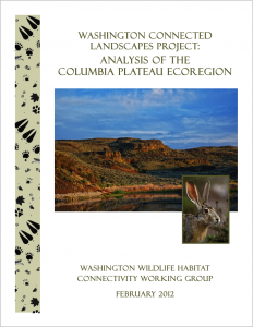 The Washington Connected Landscapes Project: Analysis of the Columbia Plateau Ecoregion, and two associated analyses, were completed by the Washington Habitat Connectivity Working Group in 2012 and 2013, with advisory assistance from the ALI partners. These analyses identified the most important areas to maintain and enhance wildlife habitat connectivity across the Columbia Plateau.
We integrated information from these two scientific bodies of work and selected a set of priority areas across the ecoregion to focus our work in. These priority areas included both core habitat patches and important linkages for keeping those core patches connected. Since agreeing on these shared priority areas, the ALI partners have been integrating these shared priorities into our work in the Columbia Plateau landscape.
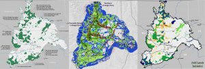
Schematic maps of priority core areas (left), connectivity areas (middle), and ALI’s shared priority areas (right). For full details see reports described above, and the Our Shared Priorities page.
Download the Spatial Priority Areas GIS Data
Find GIS data layers used and associated with the Priority Areas analysis
Download the Columbia Plateau Connectivity Analysis GIS Data
![]()
Landscape Scale Science – Adding Riverine and Riparian Priority Areas
 The initial set of science products developed by the Arid Lands Initiative partners focused on terrestrial priority areas. However, the ALI has riverine and riparian habitats as a broad-scale priority, a priority that was not well represented in the map of terrestrial priority areas. With support from the Great Northern Landscape Conservation Cooperative and the Northwest Climate Science Center, the ALI partners identified a new set of priority areas for the creeks and rivers—and surrounding riparian vegetation—across the Columbia Plateau, and overlaid them with the terrestrial priority areas.
Download the Riverine Priority Areas GIS Data and associated data layers
![]()
Decision Support Tools
The landscape scale science products provide useful information for land owners and managers making decisions that affect how their lands and resources contribute to the larger landscape, and for others making decisions on how to focus their efforts across this broad landscape. To facilitate the use of these science products we developed a set of decision-support tools that share the existing information in useful ways. These tools include:
 A climate change vulnerability assessment, that ranks each priority area relative to other priority areas, based on factors related to their exposure to changes in climate, the vulnerability of the habitats and species that occur there to changes in climate, and characteristics that would support those habitats and species’ capacity to adapt to changes in climate.
Scorecards for each priority area, that give users a map of a particular priority area with a summary of ecological information useful for decision makers and land owners. The scorecards show how that priority area ranks relative to others in terms of abundance of our priority systems and species; how impacted it currently is by factors such as fire and invasive species, the potential for impacts from future activities like development, wind power, or agricultural conversion; and how vulnerable the area is to future changes in climate.
 Summary maps of which priority areas need immediate attention for maintaining and restoring the condition of priority systems and species, and similar maps that provide important lenses – such as climate change or wildfire potential – to inform our initial focus.
![]()
With the completion of these decision-support products, the Arid Lands Initiative is transitioning from landscape planning to taking coordinated action guided by our shared priorities, to achieve landscape-scale conservation in eastern Washington’s arid lands.